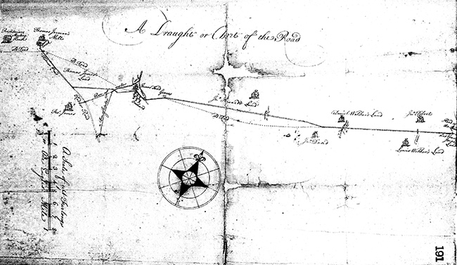
A 1724 plan for part of Swedesford Road titled A Draught or Chart of the Road, with the legend “Scale of eight Furlongs or One English Mile”.
Various property owners, other roads, and landscape features are identified. Courtesy of Mike Bertram.

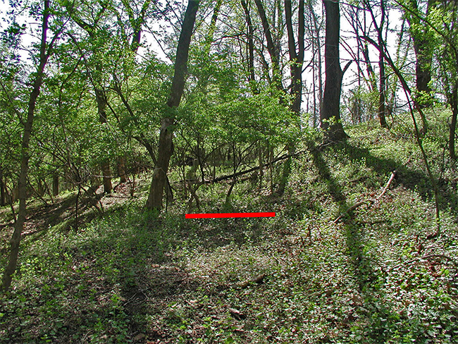
A photo showing part of the original roadbed of Yellow Springs Road (indicated in red).
Courtesy of Mike Bertram.
|
The Old Roads of Tredyffrin: Revisited
by Mike Bertram
Society member and accomplished local historian Mike Bertram has done extensive research on local roads, partially based on old maps, photos, and site visits.
In November 2007, he reported his findings in a meeting presentation entitled The Old Roads of Tredyffrin. Since then, he has continued his research.
The roads in Tredyffrin mainly originated in the 18th and 19th centuries. An important part of the process of creating these roads involved the courts.
In this presentation, based in part on his recent research on court documents, Mike described the layout of the township's 18th-century roads
including the earliest, whose origins predate the creation of the Commonwealth of Pennsylvania.
This presentation was held at the
Tredyffrin Public Library
in Strafford, PA on Sunday 20 October 2019, starting at 2 pm.
|

